Webster-Billings Conservation Area
Access & Location
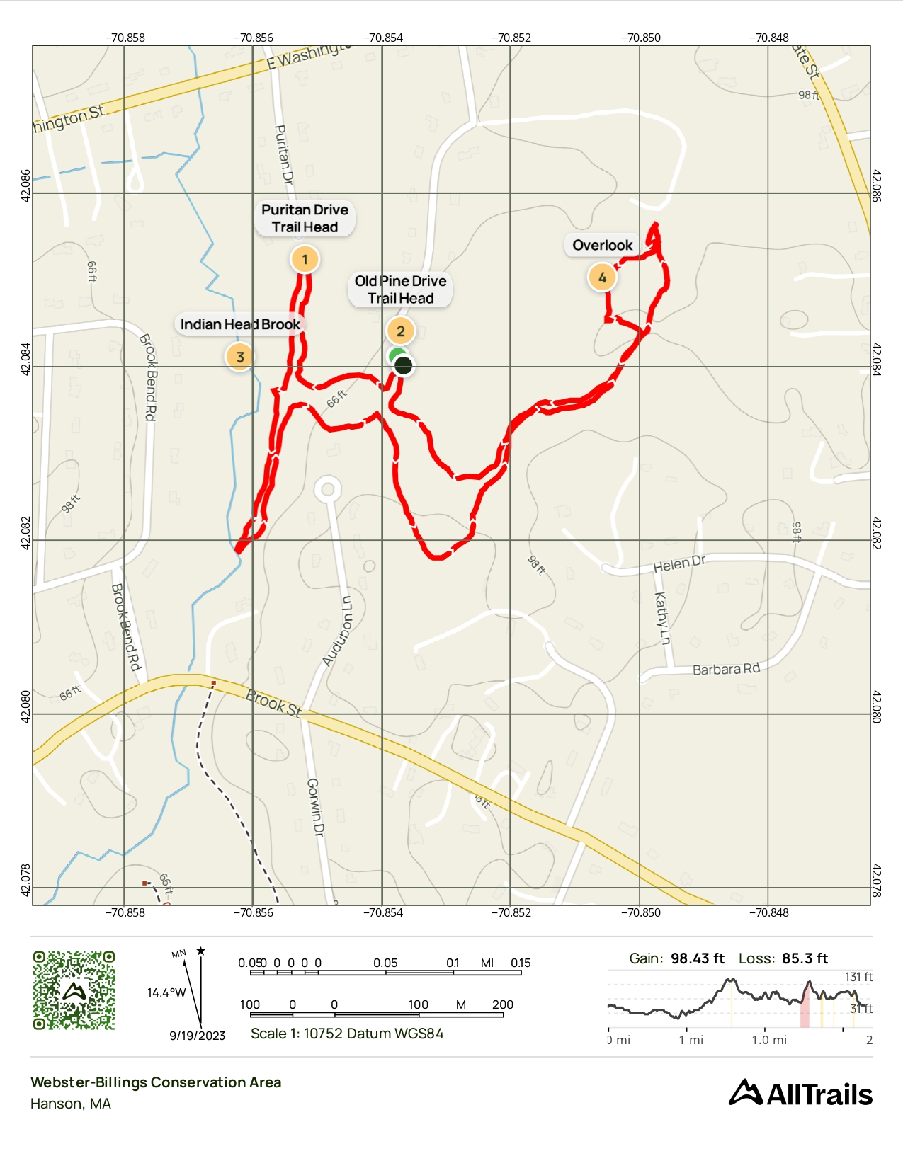
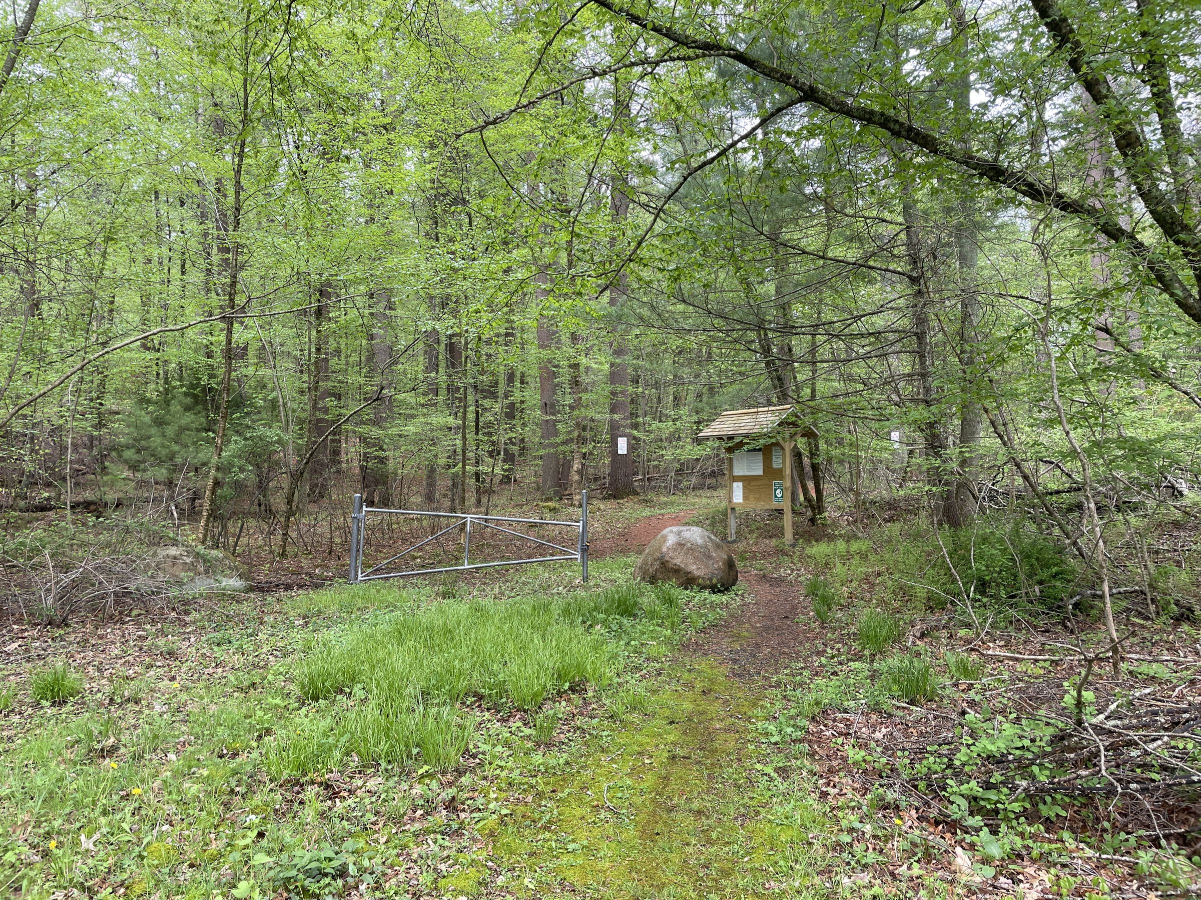
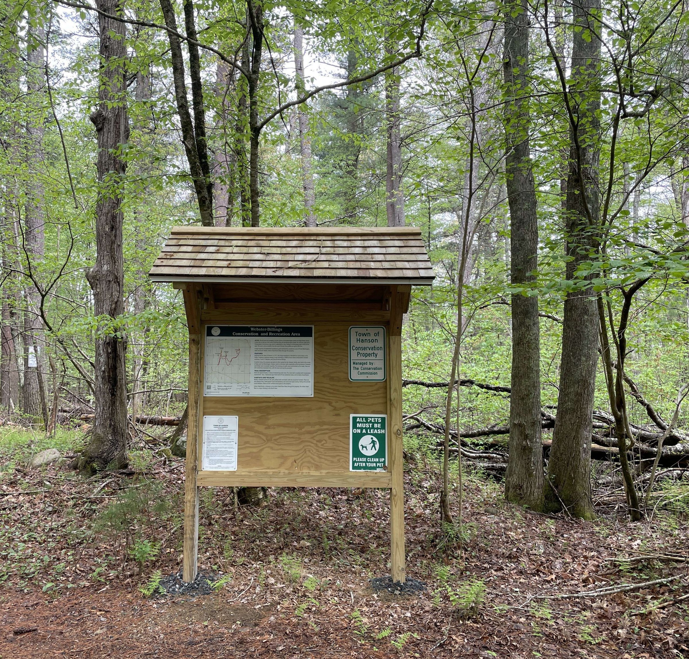
This 60+ acre property is at the corner of East Washington Street and State Street. Access is from the cul-de-sac at the end of Old Pine Drive off East Washington Street. You will see a gate and a kiosk, with parking in the grassy area in front of the gate. The area is also accessible from the end of Puritan Drive.
Trail Network & Features
There are approximately 2 miles of intersecting trails here. The main trails are marked with green hiking discs, with numerous spur trails leading off into residential areas and to Indian Head Brook.
This is mostly a forested upland of oak, pine, yellow birch and beech, with the occasional hemlock. There are also plenty of fern, sweet pepper bush and blueberry and some red maple swamp. Rolling hills provide some elevation changes.
There are two certified vernal pools on the property. Indian Head Brook, a tributary to the Indian Head River, flows through this property.
This trail is great for:

Trail Map
Last updated: July 2024
Hike through rolling forested uplands featuring oak, pine, birch, and beech, with occasional hemlock and beautiful understory vegetation.
Approximately 2 miles of well-marked intersecting trails provide access to Indian Head Brook and certified vernal pools.