Poor Meadow Conservation Area
Access & Trail Information
The trailhead parking area is located at 891 West Washington Street. It is on the left heading toward East Bridgewater just before Hanson Hay and Grain Store and the Commuter Rail tracks.
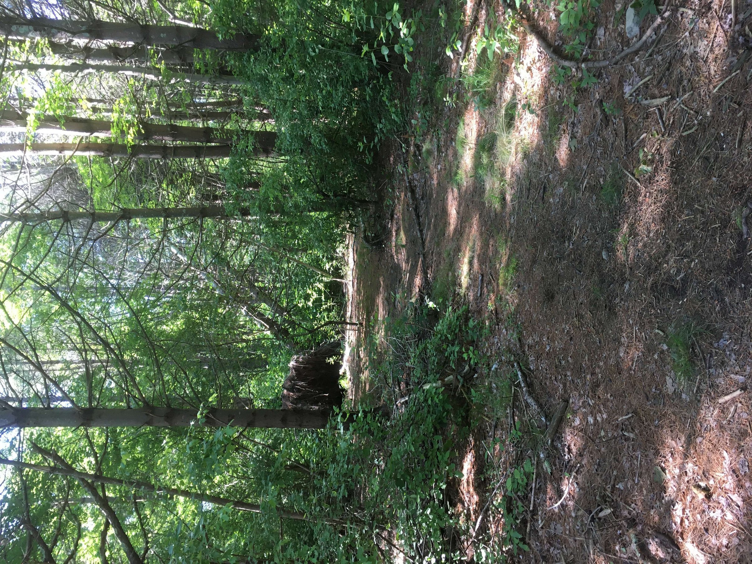
A short gravel trail through the woods leads from the parking area to the Shumatuscacant River and a shagbark hickory grove. A wide gravel cart path extends from the parking area less than one-tenth of a mile to the river.
Explore the Loop Trails
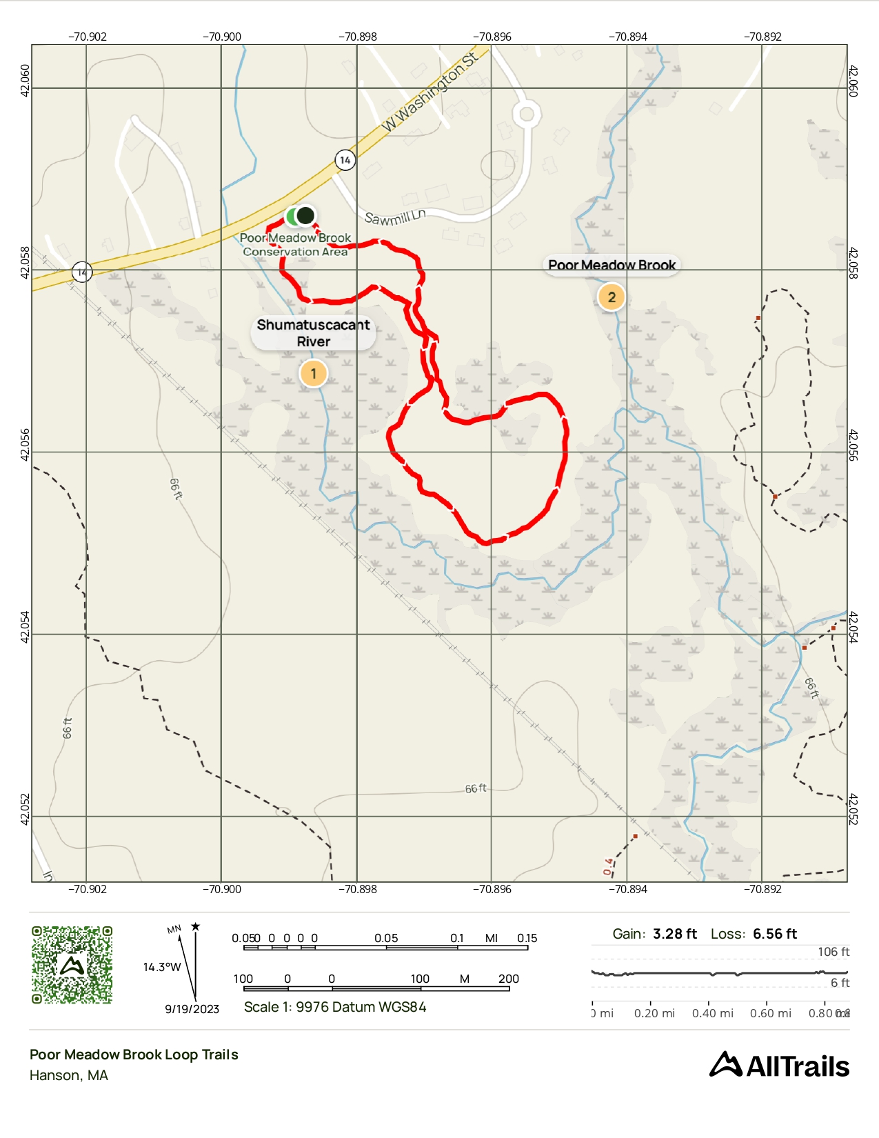
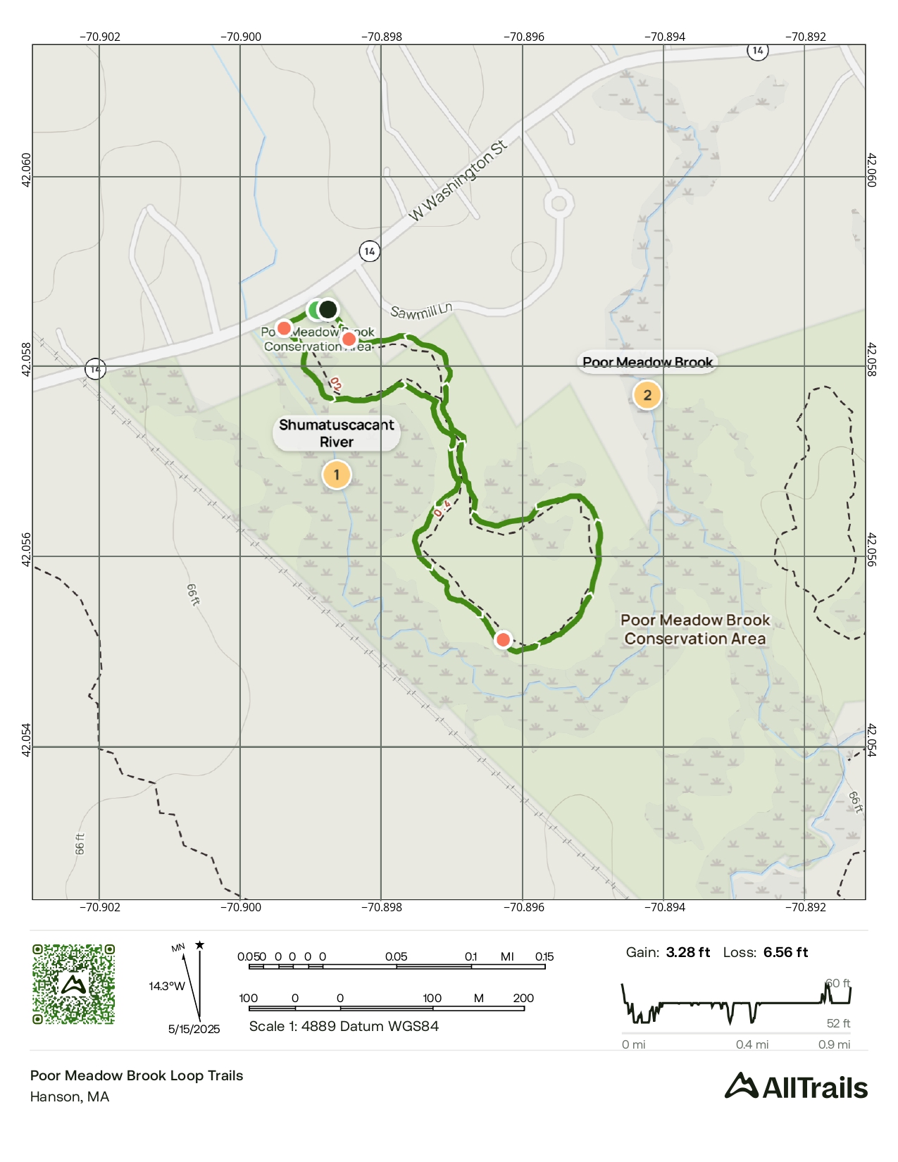
There are two marked loop trails on the property, both with trailheads at the parking area. There is a longer 1-mile loop and a short inner loop for those preferring a shorter hike.
This area contains stands of white oak, beech, red maple, and white pines as well as shagbark hickory throughout the property, offering beautiful woodland scenery year-round.
This trail is great for:


Trail Map
Last updated: July 2024
Walk through diverse woodlands featuring white oak, beech, red maple, white pines, and beautiful shagbark hickory groves.
The marked loop trails along the Shumatuscacant River offer excellent opportunities for nature observation and outdoor recreation.