Smith Nawazelski Conservation Area
Access & Location
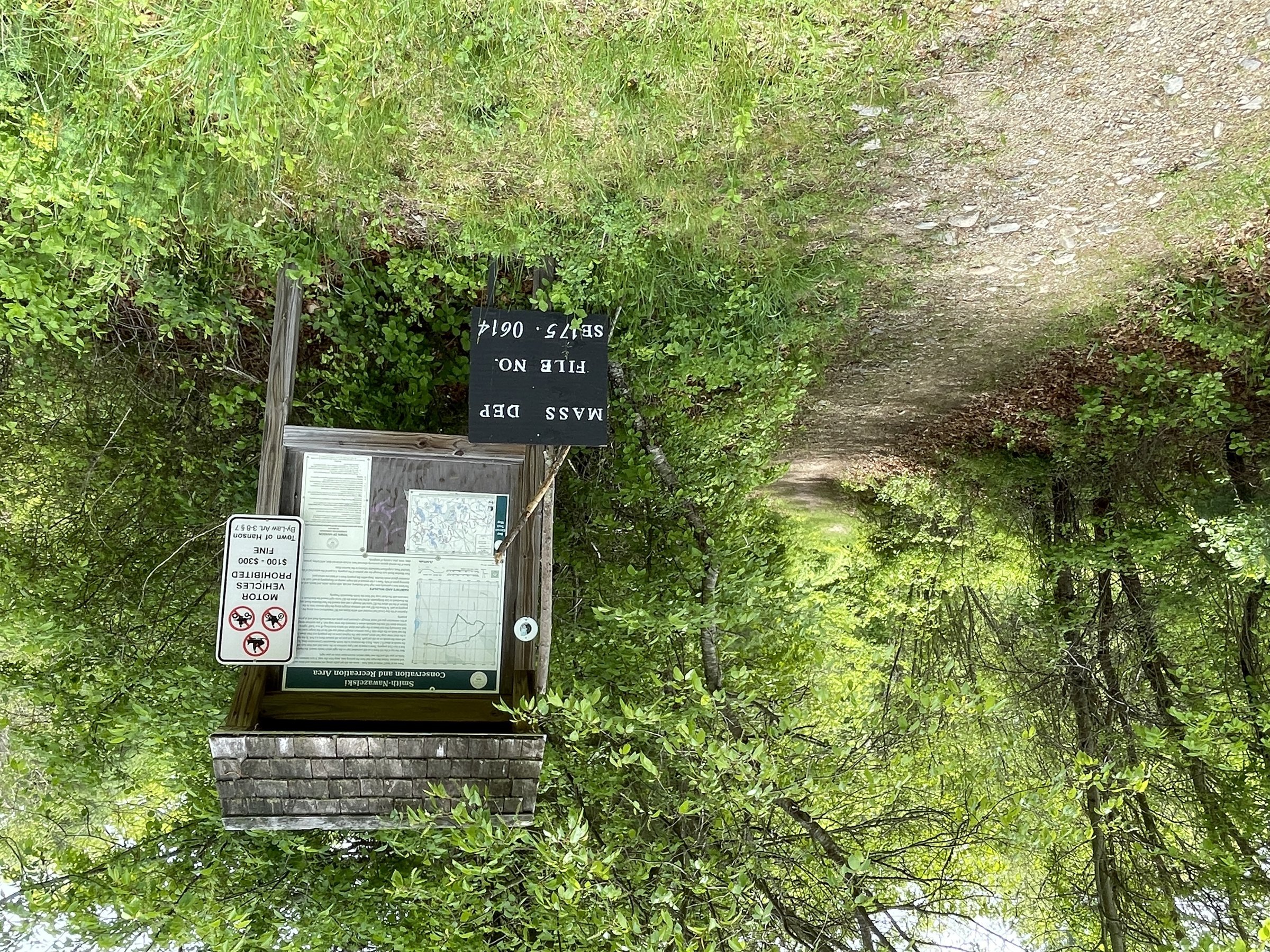
There is a small parking area at 482 Elm Street just at the power lines and across the street from the Burrage Pond Wildlife Area access road. Follow the powerlines up the hill. The trails are to the left of the power lines behind the old Stillman farm to the old farm pathways and cart paths. There are also unmarked trails off to the right that traverse the area adjacent to the Hanson Rod and Gun Club.
Explore Historic Farm Trails
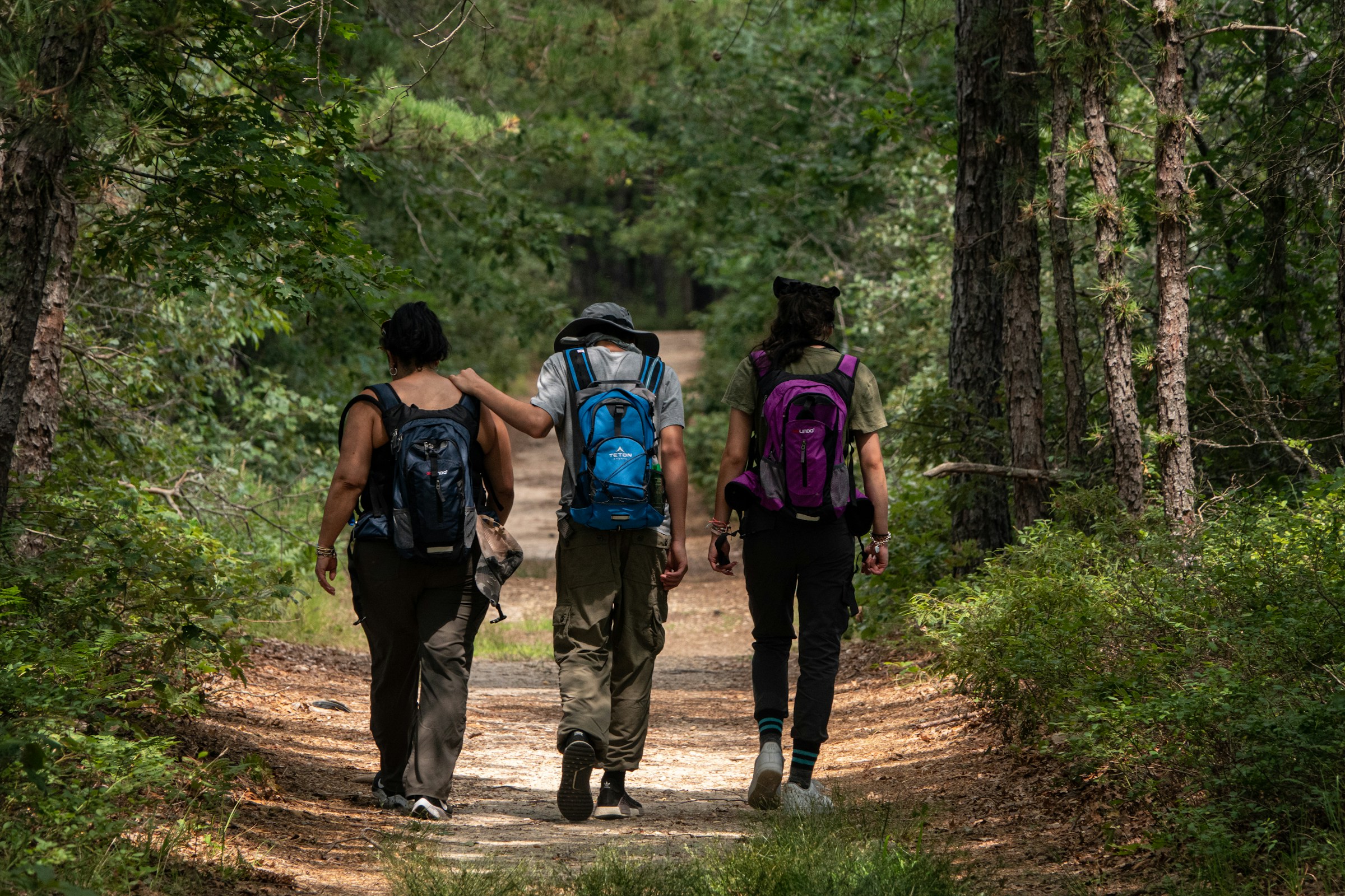
Within this property, you will see occasional old stone walls and also a very large pile of stones, probably the result of the hard work of clearing agricultural fields. There are at least 2 miles of trails here, mostly wide cart paths but also sometimes narrow footpaths.
A portion of the Bay Circuit Trail, marked with white blazes, runs through the property, connecting this scenic area to the broader trail network throughout the region.
This trail is great for:

Trail Map
-page-00001.jpg)
Last updated: July 2024
Discover the historical landscape with old stone walls and large piles of stones from centuries of agricultural land clearing.
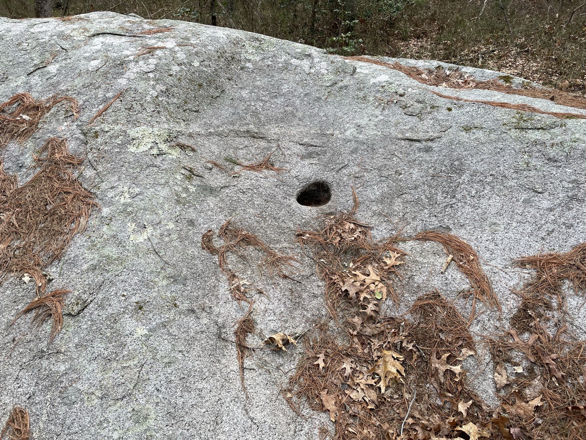
Grinding Stone
More than 2 miles of trails, mostly wide cart paths and narrow footpaths, include a portion of the Bay Circuit Trail marked with white blazes.