Indian Crossway Conservation Area
About Indian Crossway Trail and Conservation Area
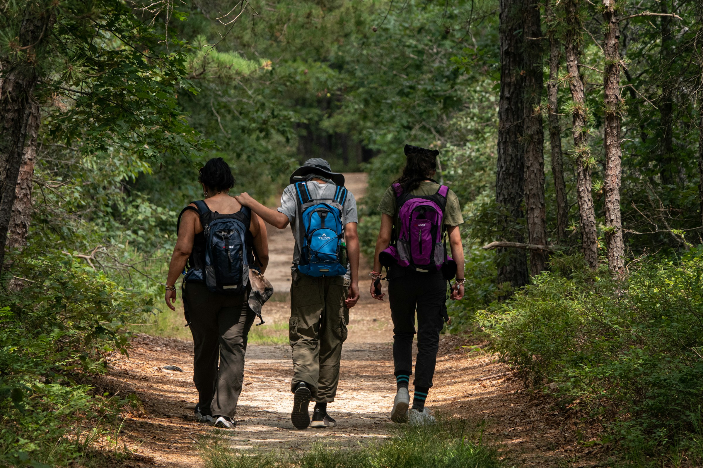
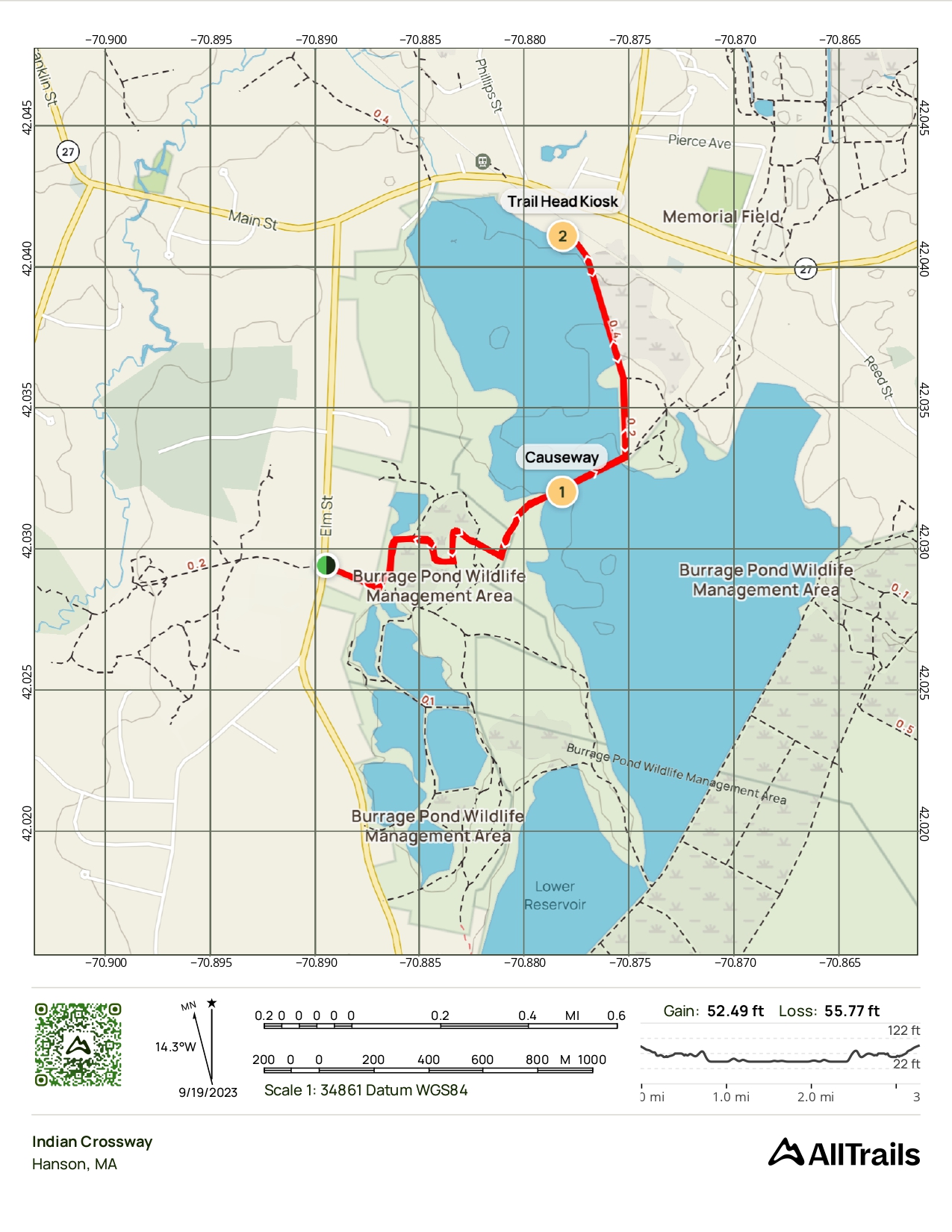
The Indian Crossway through the Burrage Pond Wildlife Area is part of an ancient trail used by Native Americans in what is now the Taunton River and North River watershed areas. This historic route connected two major watershed areas, running roughly from Indian Head Pond along what is now Main Street in Hanson, through Crooker Place and across the Great Cedar Swamp highlands to the Smith-Nawazelski Conservation Area and on to East Bridgewater and Taunton River Watershed lands.
Getting There: Going east on Main Street (Route 27) just past the Hanson Police Station, turn right onto Crooker Place. At the end of the street, you will cross over the commuter rail line and will find a small parking area immediately to the left. At the parking area, you will see a fire road gate and just beyond that a kiosk. Follow this trail through the woods and out to views of the Great Cedar Swamp and Burrage Pond Reservoirs, eventually reaching Elm Street.
The Ancient Trail
The trail that begins at Crooker Place is part of the Bay Circuit Trail and is the only remaining "undeveloped" part of this ancient Native American pathway. It represents a direct connection to centuries of cultural and historical significance in the Hanson area.
This trail is great for:


Trail Map
Last updated: July 2024
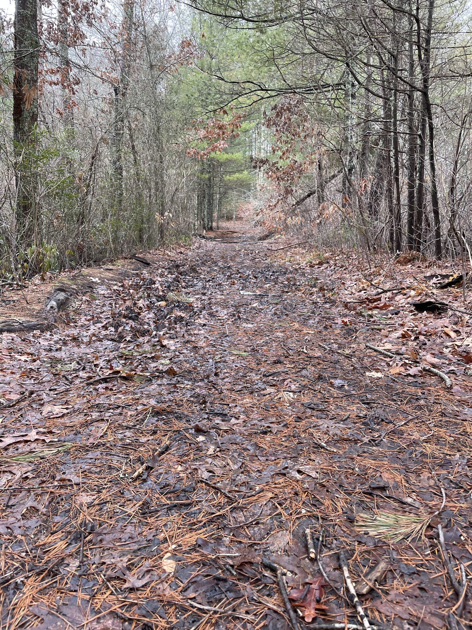
Walk through the historic Great Cedar Swamp, following the ancient Native American trail that connected two major watersheds.